Greenway River Oglio
- Home
- /
- Outdoor
- /
- Bicycle and mountain bike
- /
- Greenway River Oglio
Technical data

Type
Cycle tourism

Duration
4 tappe

Distance
274 km

Elevation gain
+1800 m

Starting point
Passo del Tonale

Arrival point
S. Matteo delle Chiaviche (Mn)

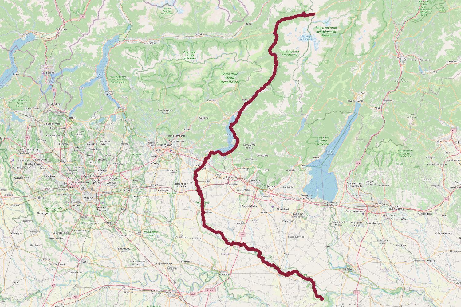
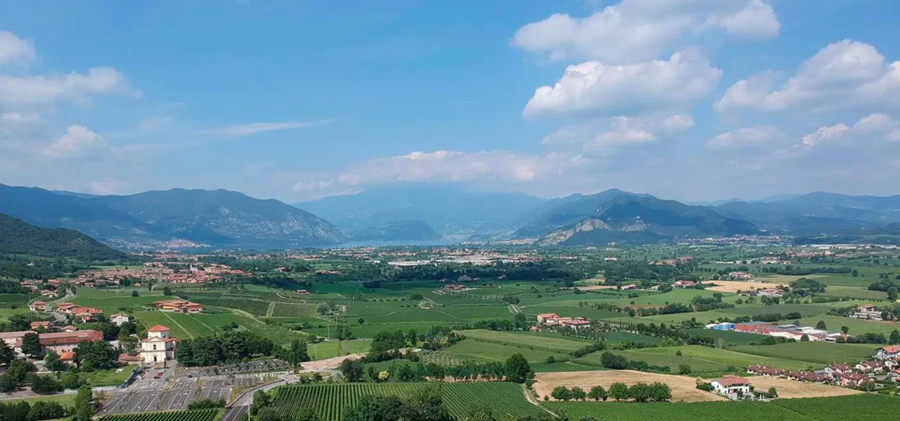
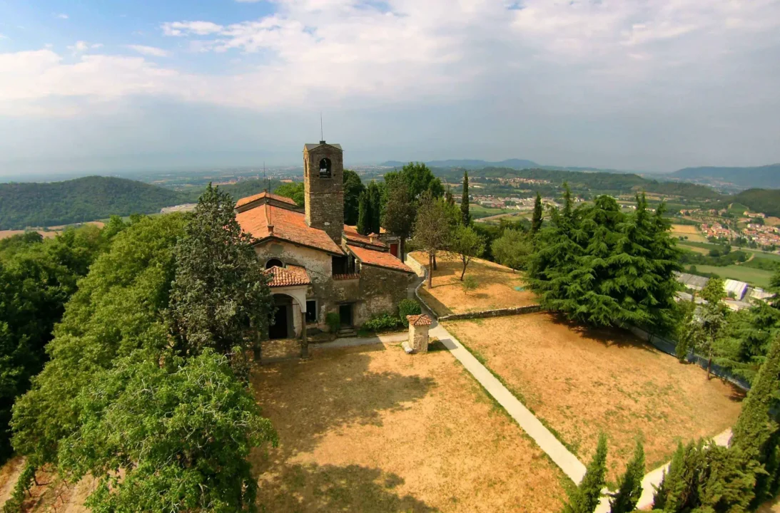
The Oglio Cycle Route, voted “Italy’s most beautiful cycle path” in 2019 by the Italian Green Road Award jury, stretches for 280 km with an elevation gain of about 1,800 metres.
It starts at the Tonale Pass (1,888 m a.s.l.) and, following the course of the River Oglio, runs through Valcamonica, Lake Iseo, Franciacorta and the Oglio Parks, all the way to San Matteo delle Chiaviche, on the Po River.
Useful information
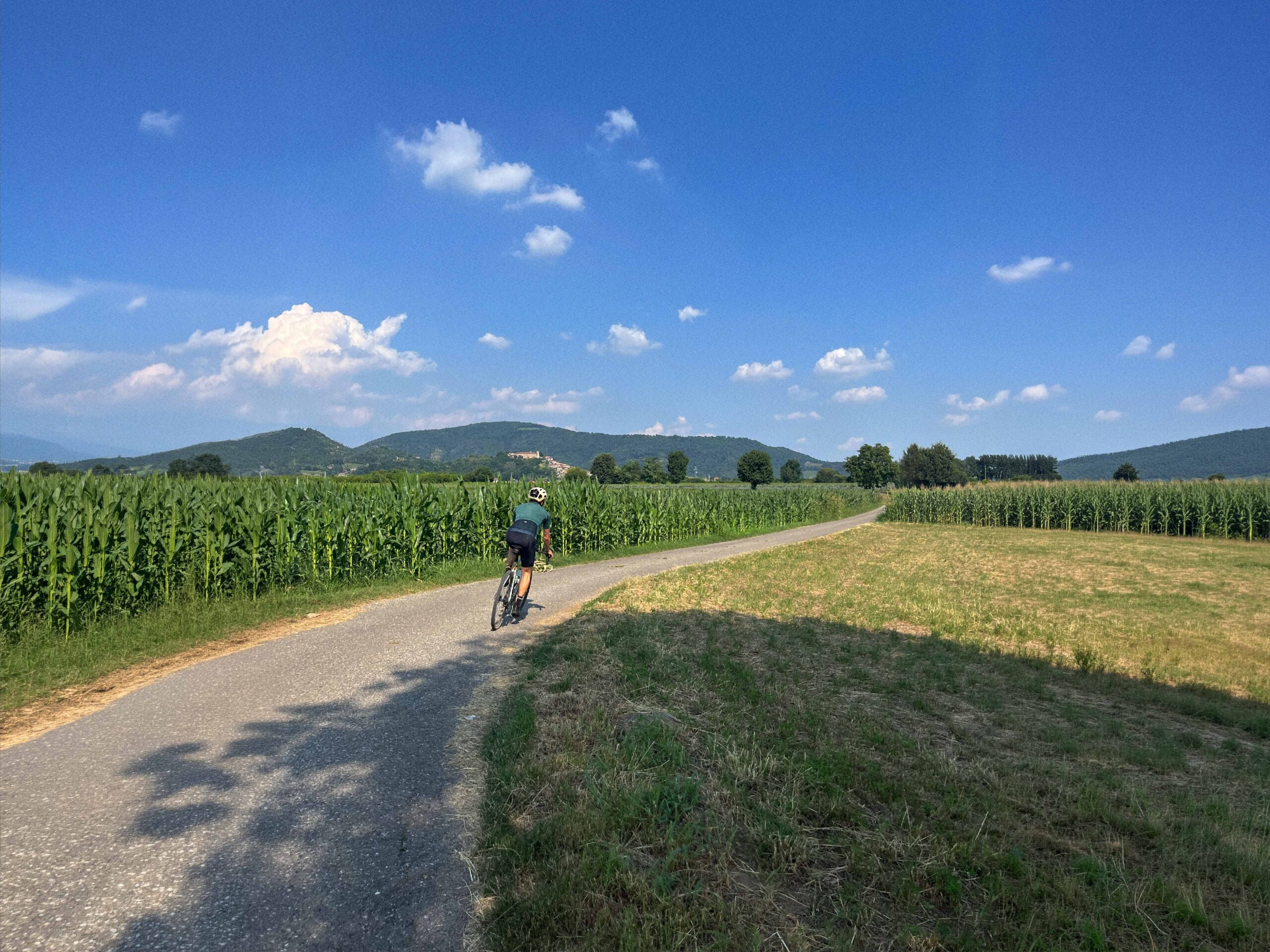
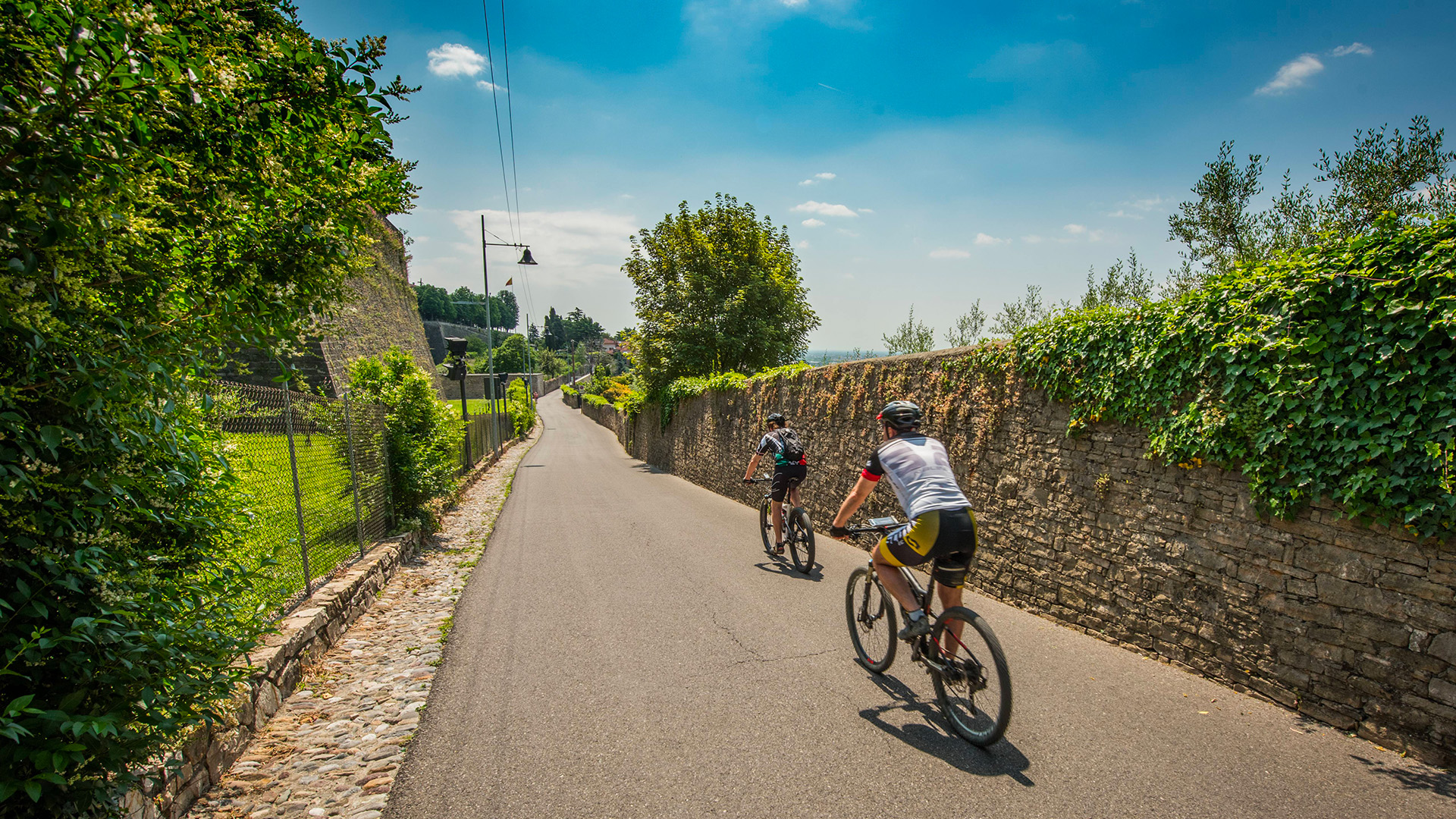
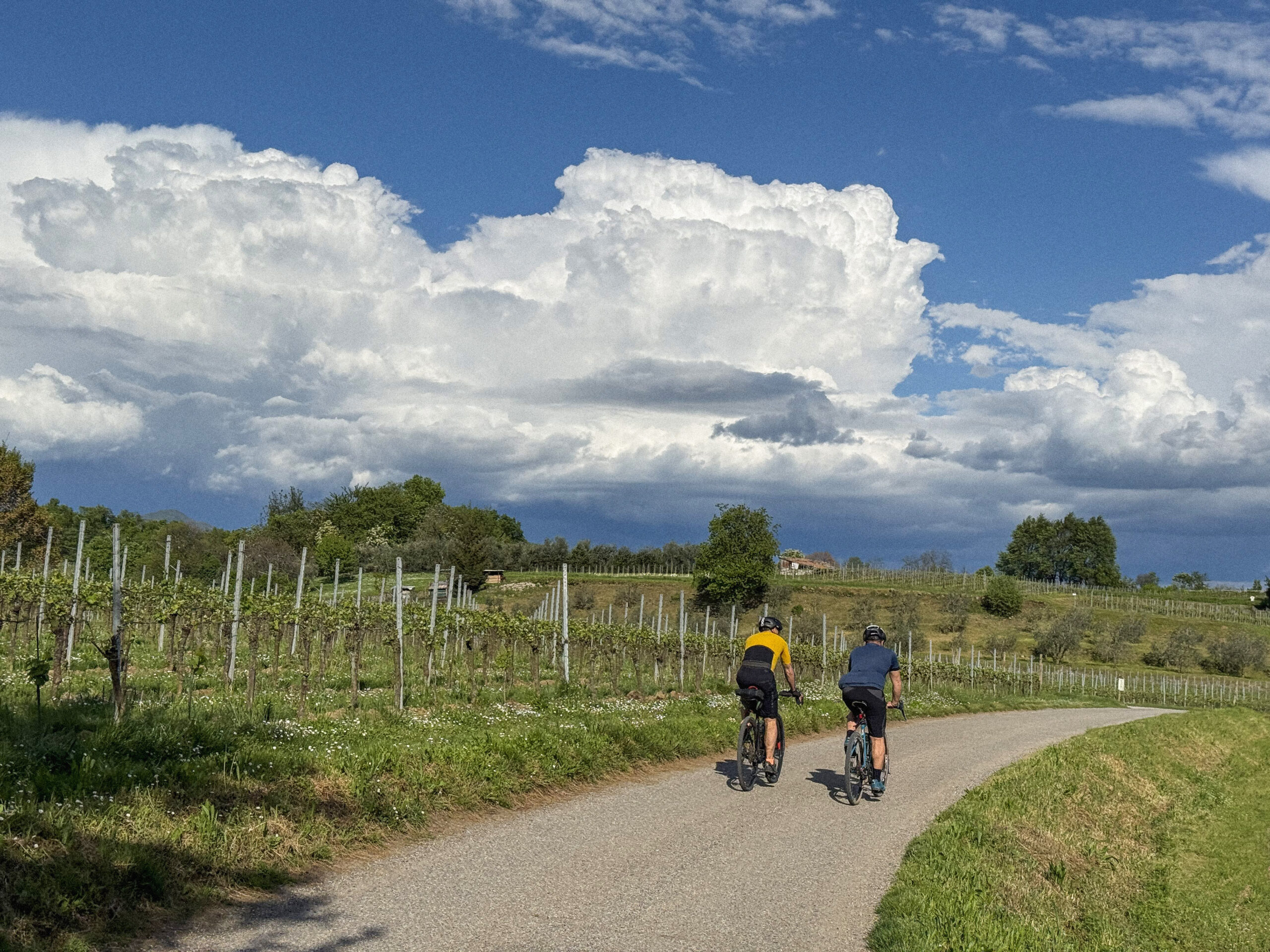
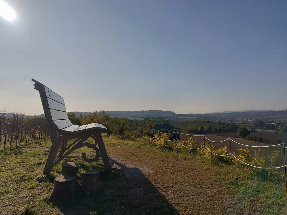
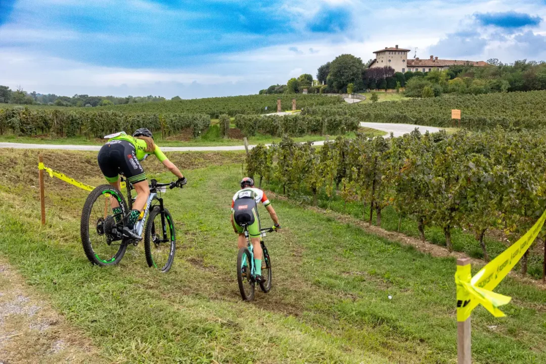
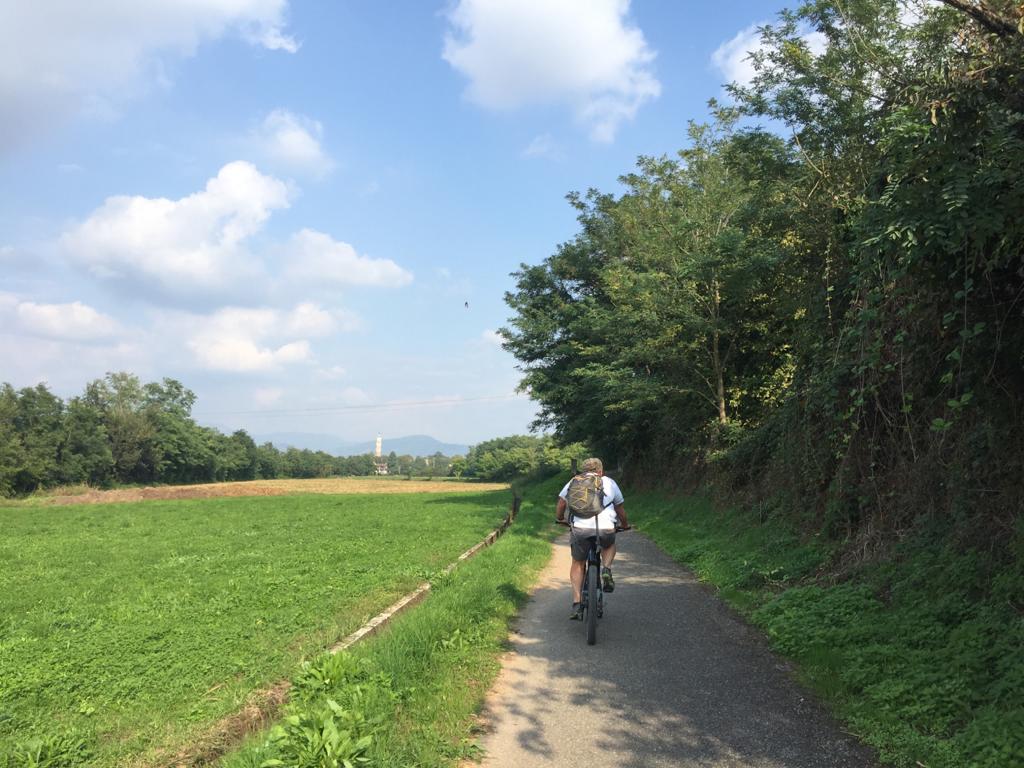
The route, marked with vertical and horizontal signage featuring the Oglio Cycle Route logo, runs along cycle paths and dirt roads and is suitable for all types of bicycles and all levels of cyclists.
Click here for more information.